Big Island Cross Country
|
|
For Pilots only...Syllabus
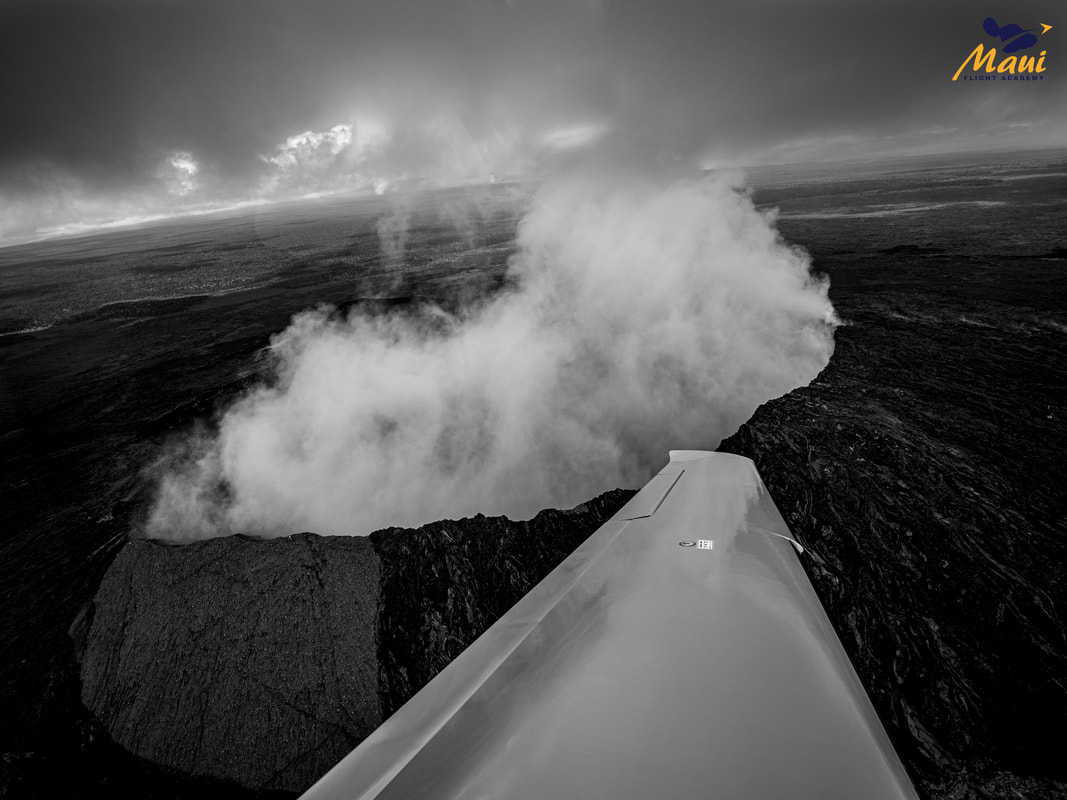
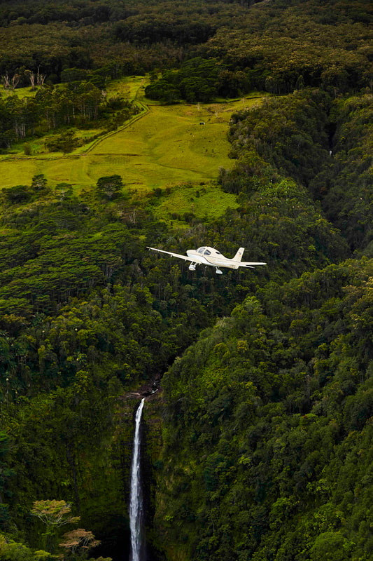
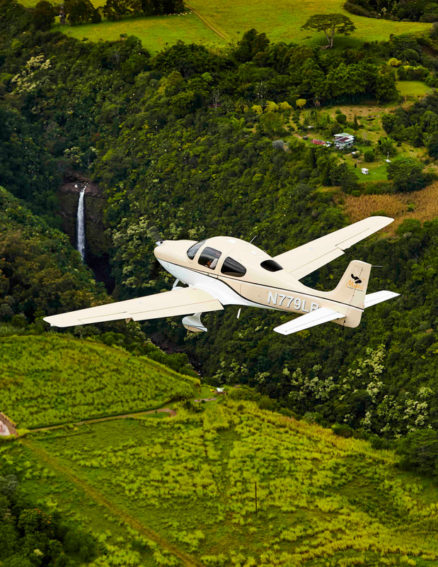
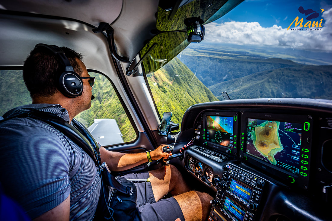
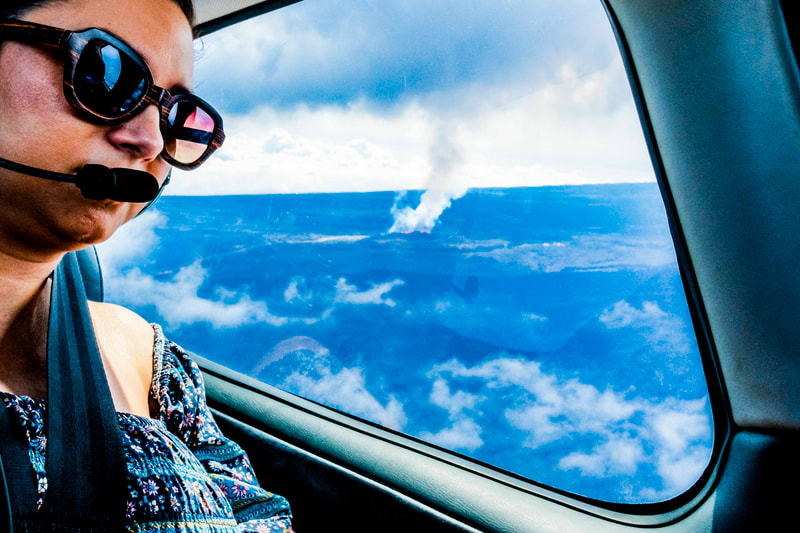
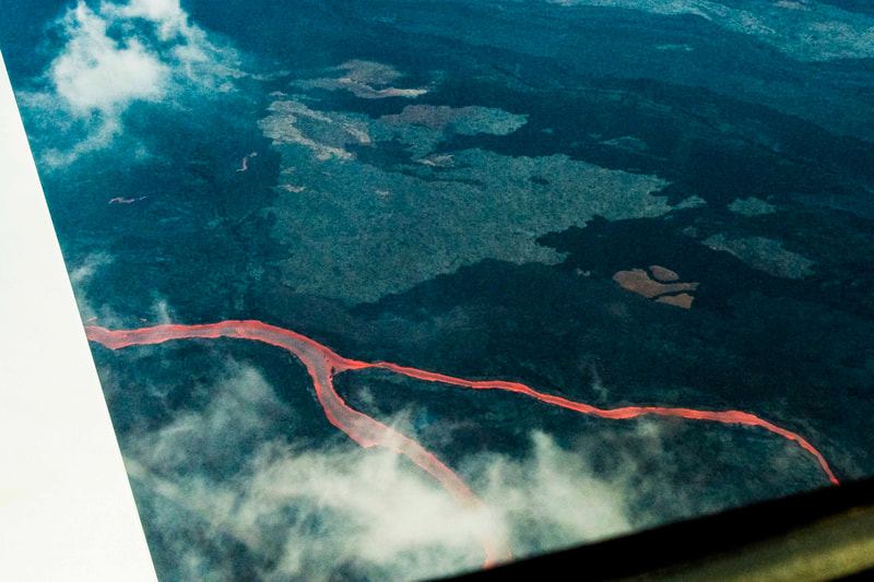
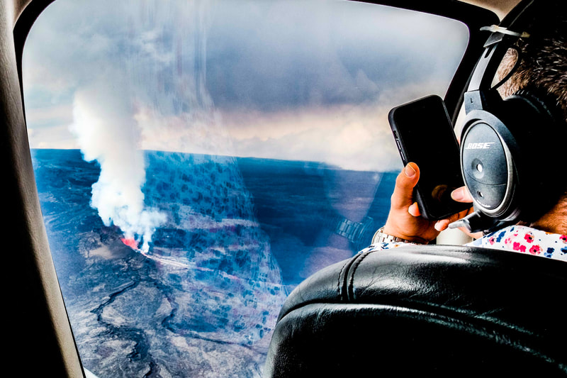
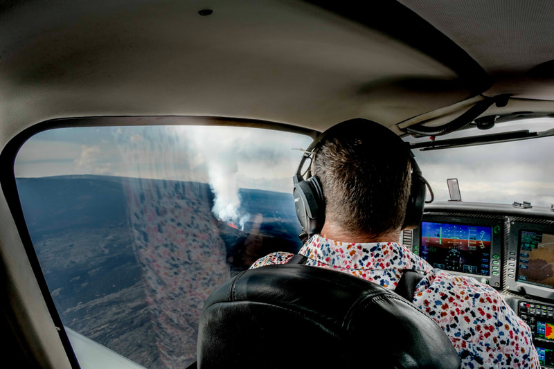
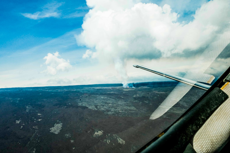
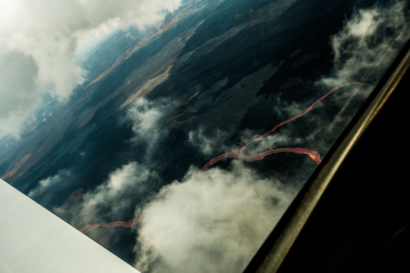
Lesson Objective: X-C flight operations and planning, as well as student familiarization with some of the unique challenges of flying in Hawaii airspace. Lesson Content: You will learn to plot a route up to 9,500' and cross the Hawaii Air Defense Identification Zone to the Big Island then fly in between Mauna Kea and Mauna Loa, two of the largest mountains in the northern hemisphere. You will learn how to navigate using GPS, use of autopilot and perform ATC communications. You will learn about TFR's (Temporary Flight Restrictions that govern the use of restricted airspace.) Afterwards you will land in Hilo, where you will take a break with your instructor, and have an opportunity to switch pilots. Then after takeoff, fly alongside the entire northern coastline of the Big Island, filled with over 53 miles of waterfalls. At the end of the valley, turn north towards Hana, where you will get to land and perform a touch-and-go. On the third leg you will fly the northern coast line of Maui to land in Kahului. A flight training certificate or sticker for your logbook, signed by your instructor will be presented to you upon completion and valid towards the furtherance of pursuing a pilots license. Completion Standards Student will demonstrate proficiency with planning and operations within the Hawaii airspace, with emphasis on over-water risk management, evaluation of micro-climate weather. Management of high density traffic environment. Student will demonstrate proper use of Angle of Attack indicator as an additional tool for maintaining positive control during low speed phases of flight. |

